

We are a team of experts in GNSS, InSAR and geodetic deformation monitoring.
The core of the team consists of researchers from the Wrocław University of Environmental and Life Sciences, who gained their expertise at leading universities in Germany, Austria, Spain, the Netherlands, Canada and Italy, among others. We have also built our experience by carrying out projects for the European Space Agency.
Active international cooperation, membership in global and European industry organisations, and regular participation in the most important thematic conferences give us access to the latest developments in satellite technologies.
Our team members have diverse, long-standing experience of working with and for industry, including in the application of satellite technologies and conventional surveying techniques to the monitoring of deformation of engineering structures (dams, embankments) and of ground surfaces (e.g. at mining sites).
Get to know our team members and get in touch
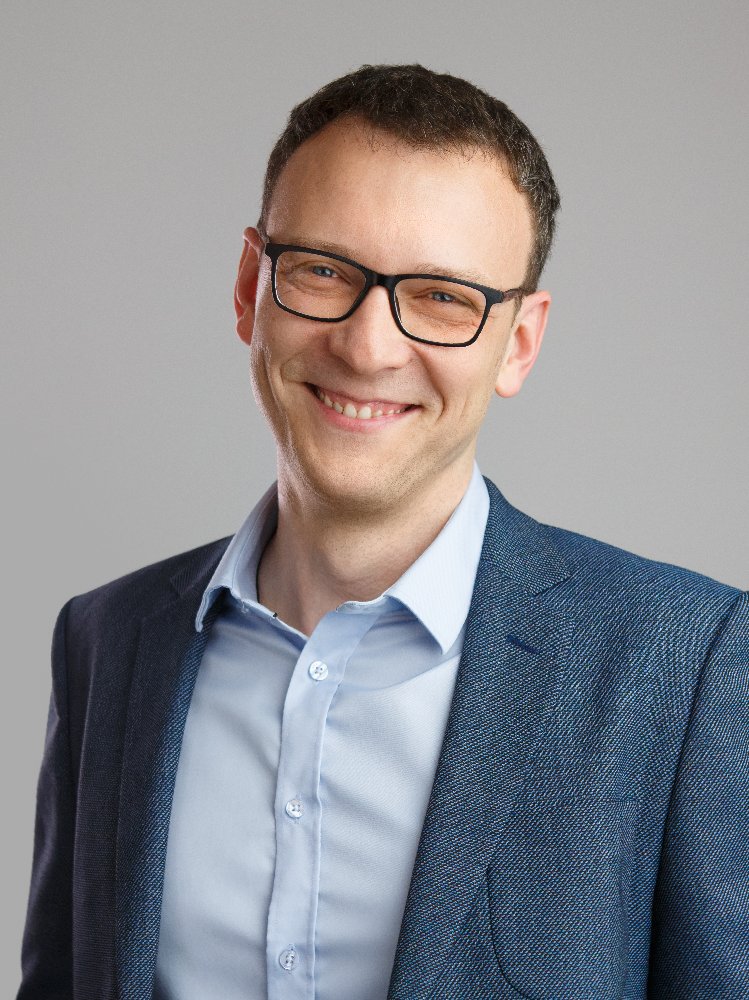
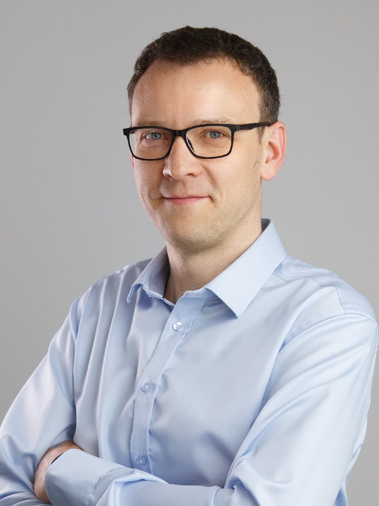
Tomasz Hadaś
Team Leader

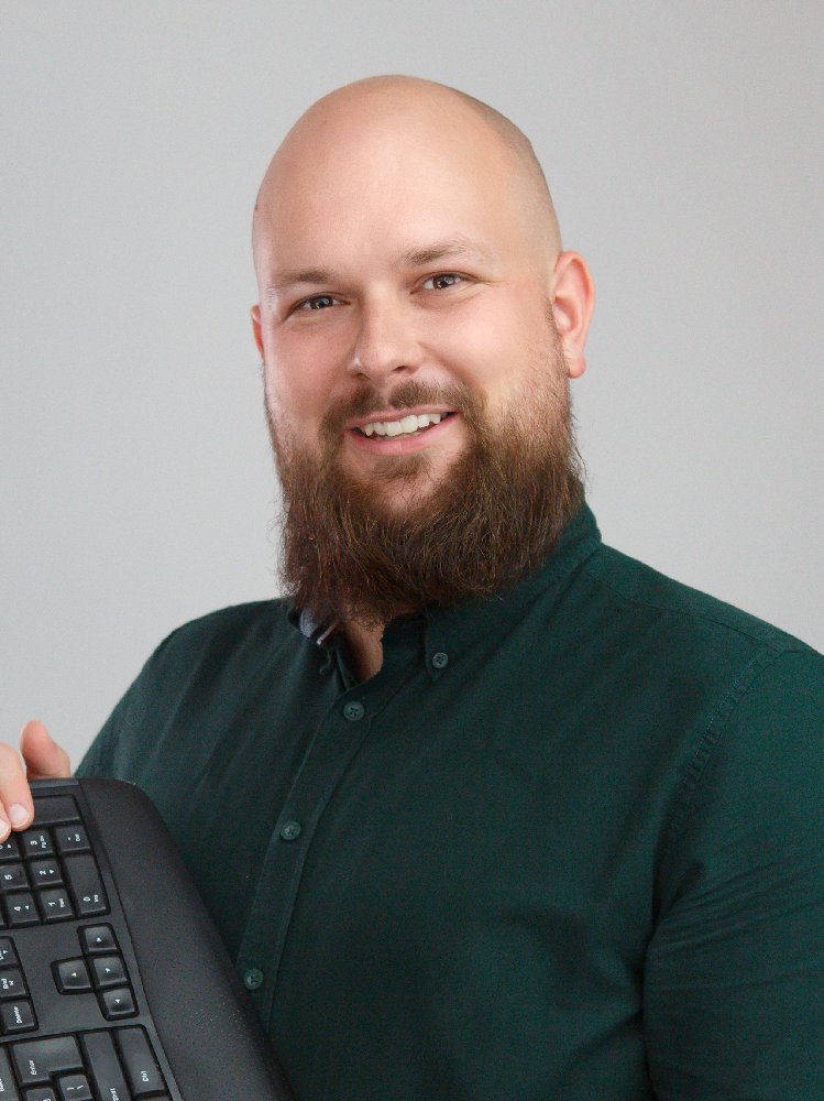
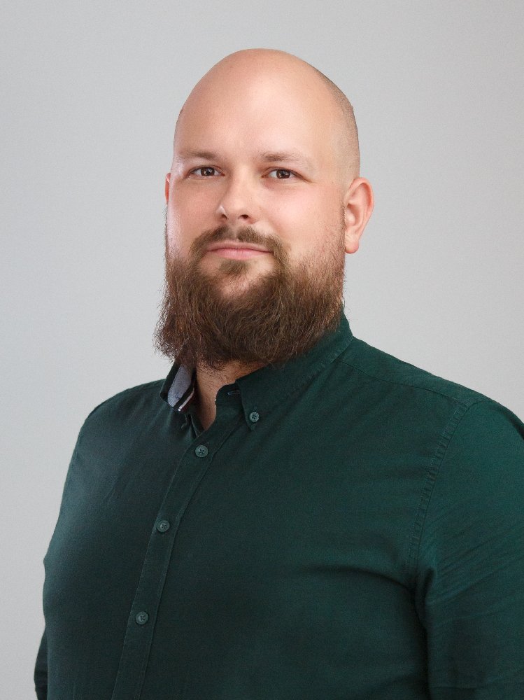
Grzegorz Marut
GNSS Expert
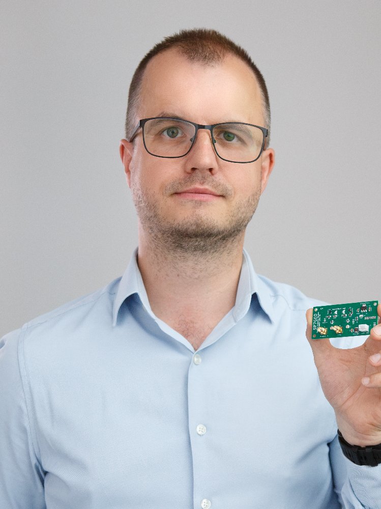
Adrian Kaczmarek
Hardware Developer
Maciej Lackowski
Network Manager
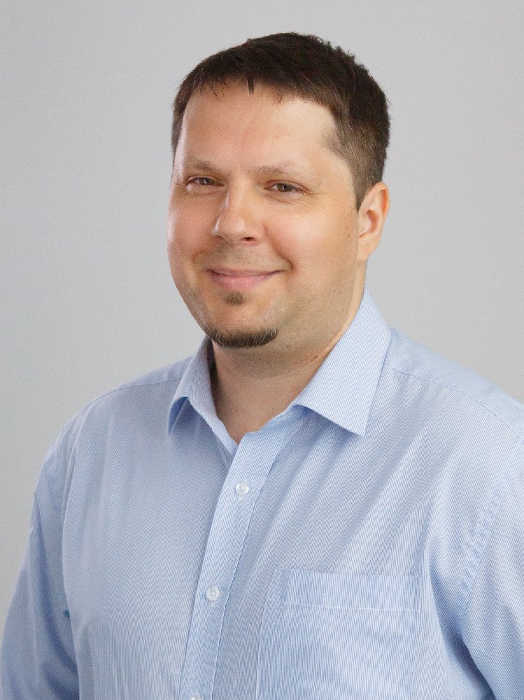
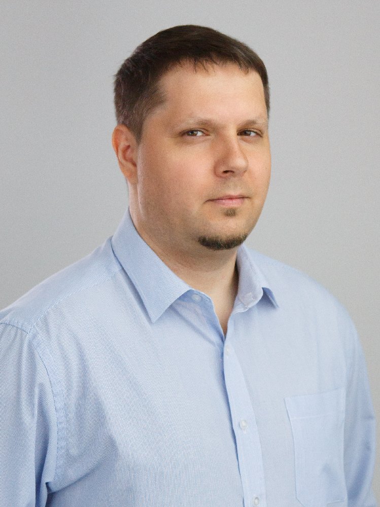
Jerzy Wieczorek
Software Architect
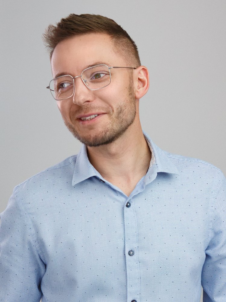
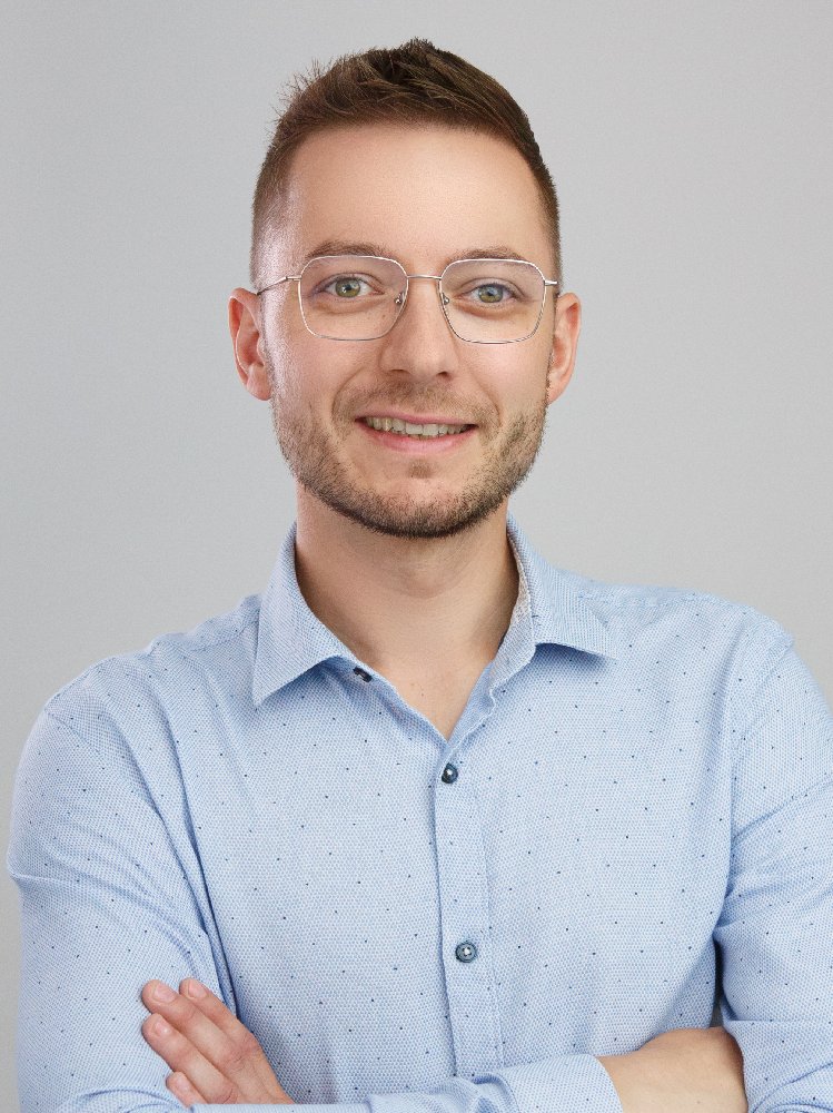
Kamil Kaźmierski
GNSS Expert

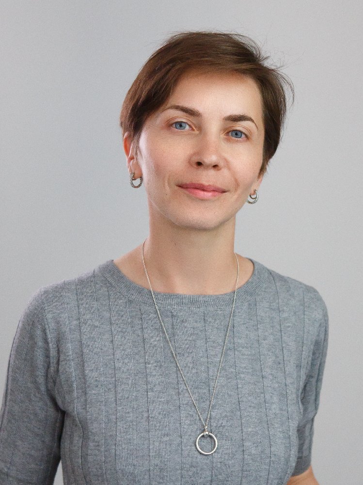
Anna Szczypka
Technology Broker


Iwona Kudłacik
GNSS Expert


Natalia Wielgocka
SAR Expert
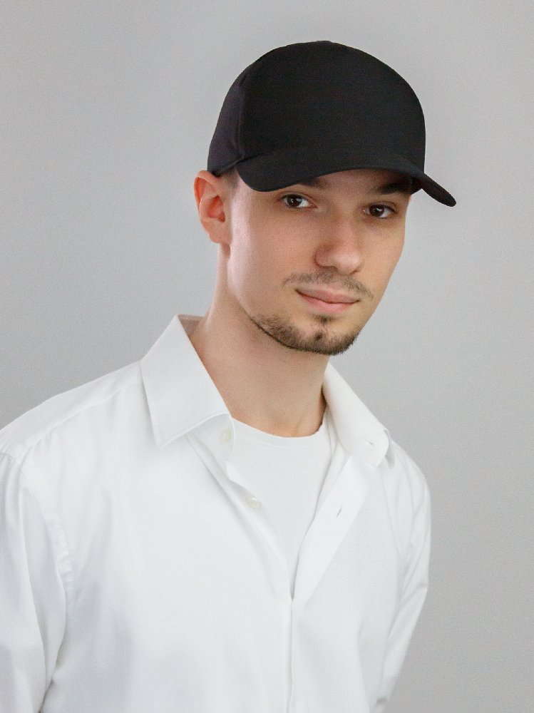
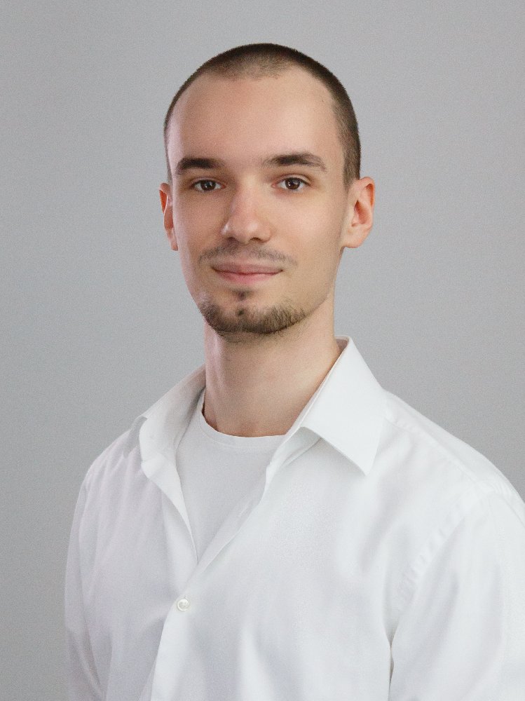
Mikołaj Bakalarz
Software Tester

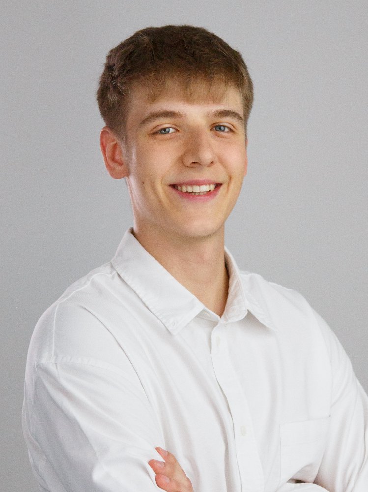
Oliwier Urbański
Software Tester
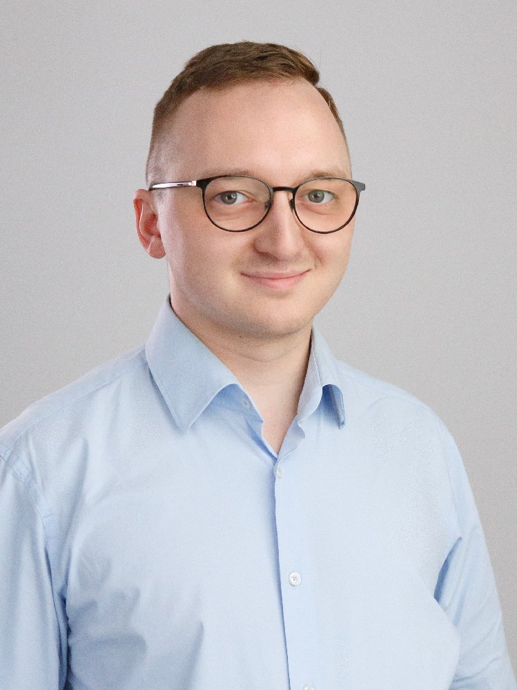
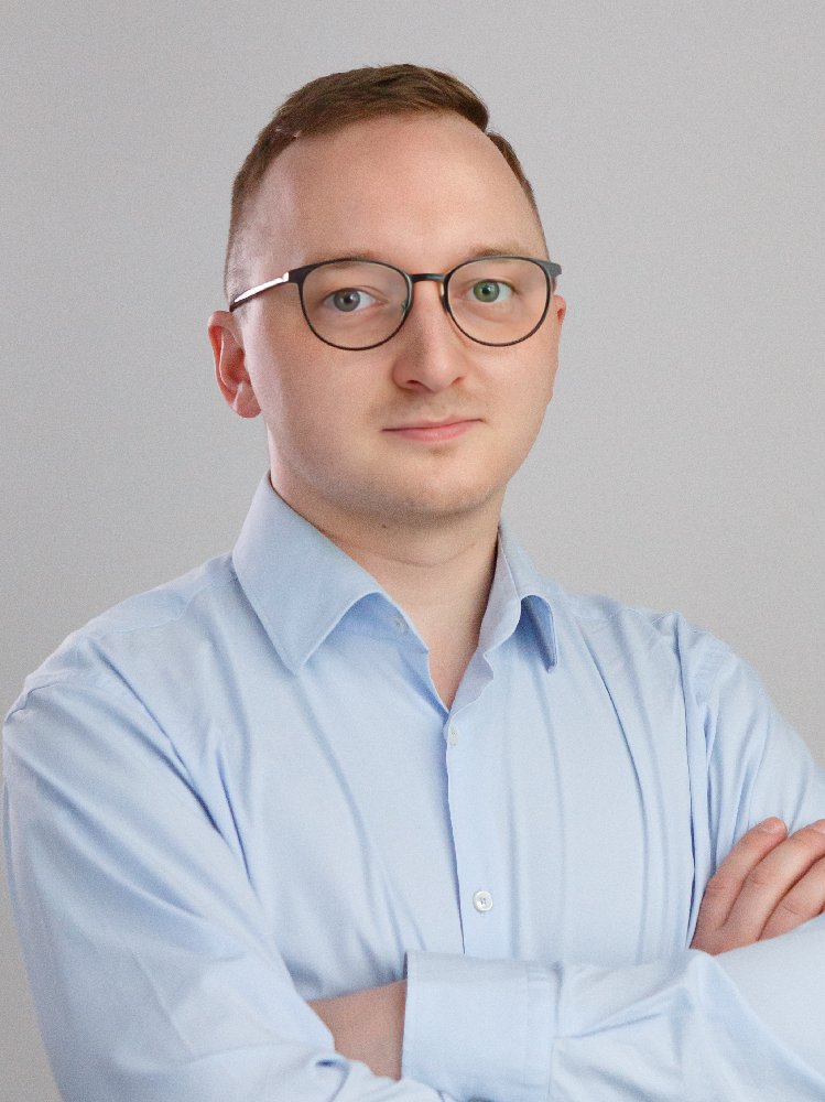
Hubert Pierzchała
RTK Expert
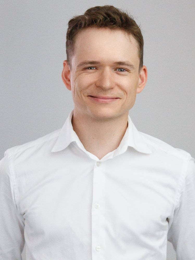
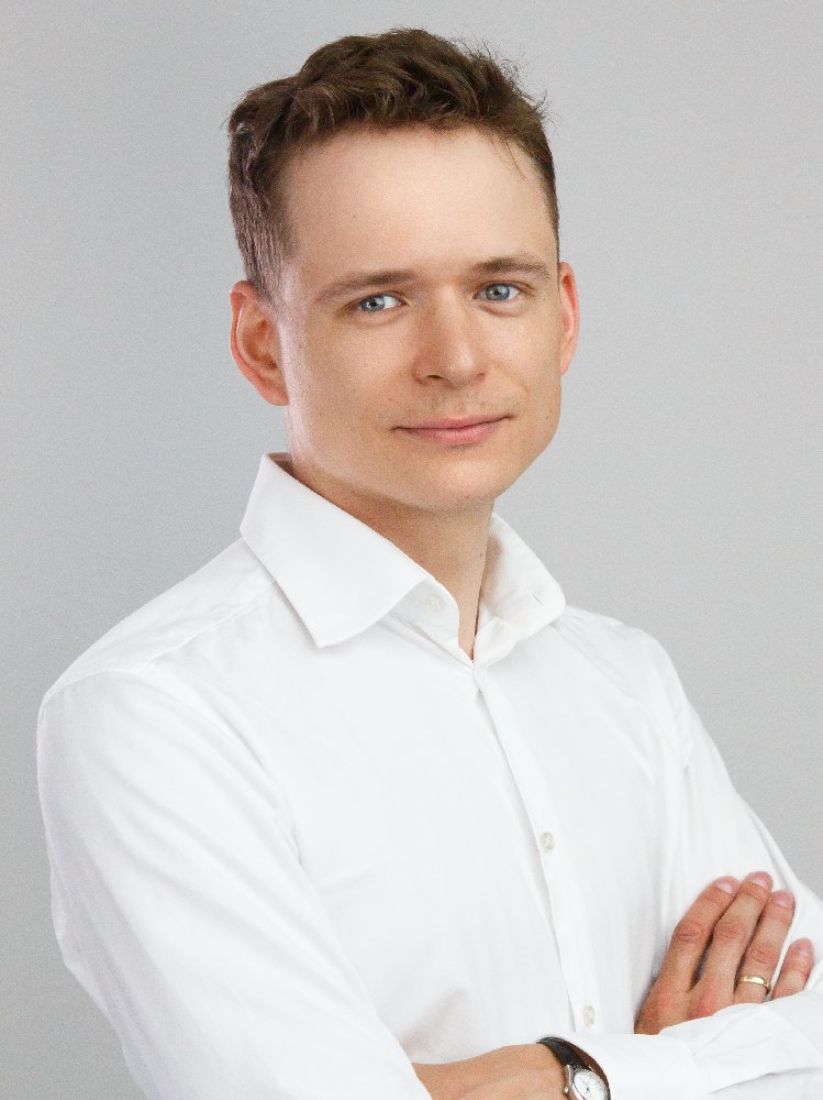
Dominik Teodorczyk
Software Developer
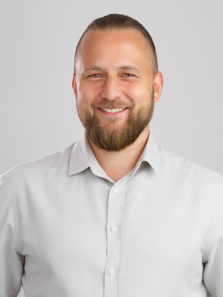
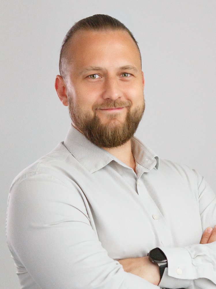
Marcin Żurawski
Electronic Engineer
Information about funding sources
Our research and development work is made possible thanks to external funding.
National Centre for Research and Development, LIDER XIII programme
Topic: Precise real-time GNSS positioning – an online service
Principal investigator: dr hab. inż. Tomasz Hadaś, associate professor
Number: LIDER13/0075/2022
Duration: 15.03.2023 – 16.09.2026
Project value: PLN 1,488,371.25
Principal investigator: dr hab. inż. Tomasz Hadaś, associate professor
Number: LIDER13/0075/2022
Duration: 15.03.2023 – 16.09.2026
Project value: PLN 1,488,371.25
Foundation for Polish Science, First Team FENG programme
Topic: A low-cost satellite system for real-time monitoring of infrastructure objects and the ground surface
Principal investigator: dr hab. inż. Tomasz Hadaś, associate professor
Number: FENG.02.02-IP.05-0089/25
Duration: 1.01.2026 – 31.12.2028
Project value: PLN 3,951,734.20
Principal investigator: dr hab. inż. Tomasz Hadaś, associate professor
Number: FENG.02.02-IP.05-0089/25
Duration: 1.01.2026 – 31.12.2028
Project value: PLN 3,951,734.20
Get in touch
Would you like to use the online computation service? Buy a low-cost GNSS station or test observations from our network? Or perhaps you’re looking for technical consulting in the area of GNSS or InSAR? Write to us — our team will look for a solution tailored to your needs.
