


Real-time processing
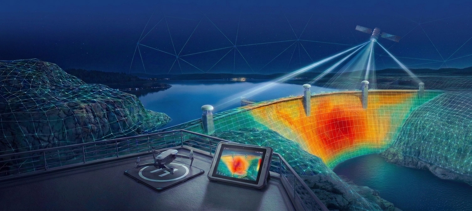
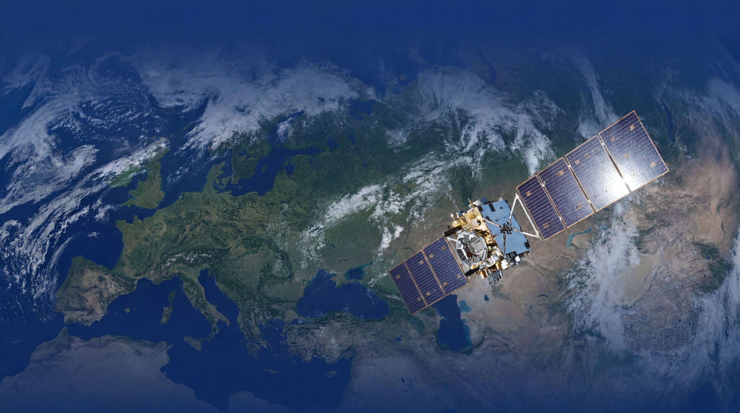
We deliver solutions in satellite positioning (GNSS) and satellite radar interferometry, also in real time. Our proprietary algorithms enable determining a point’s coordinates with an accuracy of a few centimeters and with even better repeatability. We offer a versatile processing system and our own GNSS receivers designed for monitoring, but we can develop a tailor-made solution for your needs

We combine processing and hardware innovation in satellite technologies
Real-time processing
Your GNSS receiver’s coordinates are continuously monitored, even every 1 second, allowing you to build an alarm or early warning system.
No base station
Thanks to the use of the PPP technique, there is no need for an additional receiver (base station), and your coordinates will be determined in a stable, global coordinate system.
Cloud-based processing
We process observations from your stations and/or InSAR satellites in the cloud — you don’t have to update your receiver’s software or buy new equipment.
Specialized expertise
A team of experts guarantees that the data processing algorithms are reliable, effective, and use the latest advances in satellite technology.
Support for low-cost devices
You can build your positioning or monitoring system using low-cost devices, without sacrificing result quality compared to professional GNSS receivers.
Examples of typical applications of our solutions

Surveying
Static measurements, including establishing control networks and precise positioning even beyond the range of ground-based RTK/RTN base stations

Monitoring systems
A foundation or component for alarm and early warning systems in monitoring dams, mines, buildings and surfaces under which underground works are being carried out

Precision agriculture
Determining routes for agricultural machinery, monitoring crop areas, farm mapping for GIS systems
